STGE cabinet géomètre expert en Tunisie, situé à Ariana


Société Tunisienne des Géomètres Experts

 Notre Engagement d'expert
à la mesure de vos projets
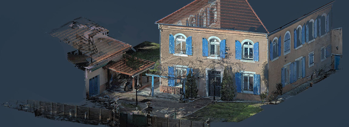
Restitution Photogrammétrique 3D
Orthophotoplan, MNT
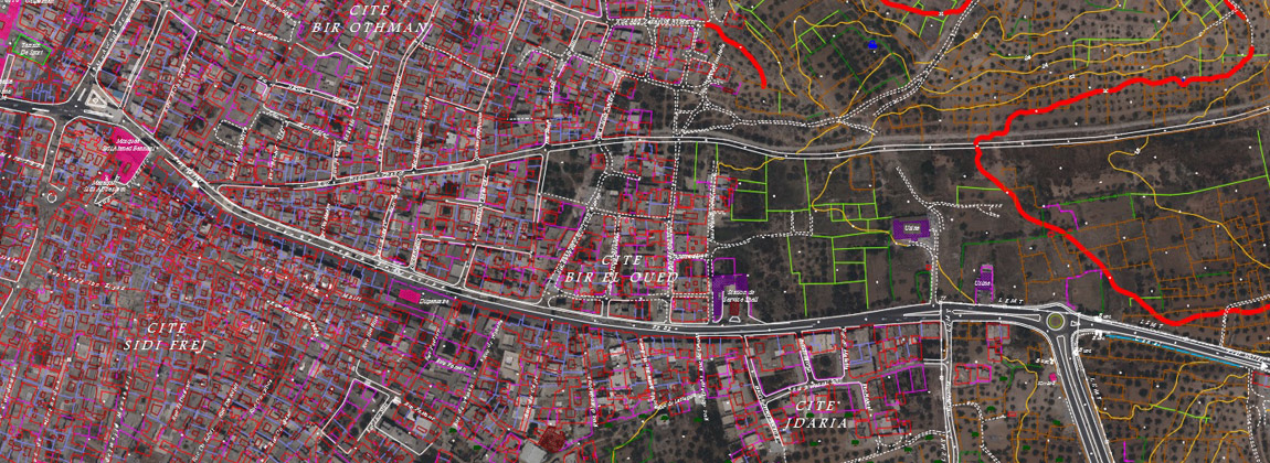
 Plans côtés, Plans parcellaires, Projets VRD
Implantations, Profils en longs, Profils en Travers, Calculs des Cubatures...
Plans côtés, Plans parcellaires, Projets VRD
Implantations, Profils en longs, Profils en Travers, Calculs des Cubatures...
A propos de STGE
La Société Tunisienne des Géomètres Experts « STGE » fournit les services relatives à la Géomatique.
La Géo-Information constitue le cœur de notre métier de géomètre-Expert.
Notre Société est spécialisée dans la collecte de l’information géographique principalement Par levé Topographique direct (GPS, Station Totale, Scanner 3D…..) et par La photogrammétrie Aérienne (Restitution 3D, Ortho-Photo plan, mosaïque...).
STGE assure aussi l’intégration de l’information géographique recueillie dans un SIG.
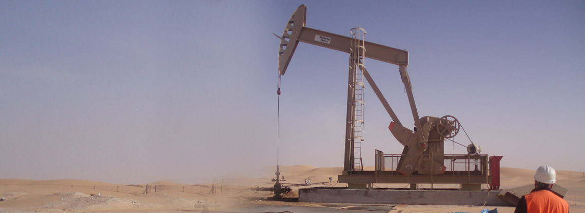
Par la haute qualification de notre personnel et l’importance de nos moyens techniques, nous sommes en mesure d’intervenir rapidement en Tunisie et à l’étranger.
Nos Compétences
- Géomètre-Expert Plus d'infos
- Topographie Plus d'infos
- Foncier Plus d'infos
- Copropriété Plus d'infos
- Topométrie de Précision et Métrologie Plus d'infos
- Géodésie Plus d'infos
- Expertise immobilière et judiciaire Plus d'infos
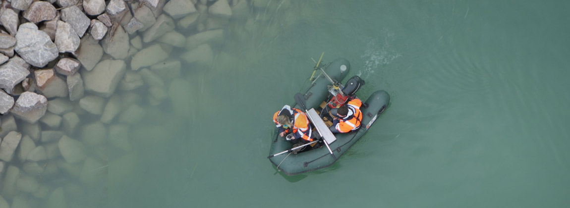
- Bathymétrie Plus d'infos
- Scanner et Modélisation 3D Plus d'infos
- Photogrammétrie aérienne et Cartographie Num. Plus d'infos